The Daily Tar Heel
Printing news. Raising hell. Since 1893.
Wednesday, May 8, 2024 Newsletters Latest print issue

We keep you informed.

Help us keep going. Donate Today.
The Daily Tar Heel

Report: Many roads over capacity

Some main streets deemed inefficient

Chapel Hill's transportation capabilities are efficient, according to a 2003 mobility report card presented to the Chapel Hill Town Council on Monday night.

But there is still room for improvement.

Ray Moe of L.S.A. Associates presented the report card, which he said is the most comprehensive of any in the state, to the council.

The report is meant to monitor and evaluate the town's progress in accomplishing its mobility goals.

"This is a snapshot on how the town is doing as far as transportation," Moe said. "The town started out with a good comprehensive plan, and they are just making it better."

Though the town has had a good transportation system in place, there is always work to do, Moe said.

The report failed some roadways because traffic volume exceeded the road's capacity. U.S. 15-501, Fordham Boulevard and portions of Country Club Road and South Columbia Street failed in both the 2001 and 2003 reports.

Cameron Avenue between Columbia and Pittsboro streets, major parts of Estes Drive and Airport Road north of Homestead road passed in 2001 but failed in the 2003 report.

"It is good to know you have a problem, so you won't let the problem deteriorate further," Moe said.

The biggest complaint from people in the community was timing for signals, Moe said. "Traffic moves quicker now through Chapel Hill, and that is partly due to the town is doing better with setting timings on traffic signals," Moe said.

The report includes 24-hour traffic counts, peak-hour intersection analyses, a sidewalk inventory, information on travel time and delay, bicycle and pedestrian participation and multimodal mobility - a summary of transit ridership and operations - and a parking overview.

The report compares data collected in 2001 to data collected in 2003 at the locations observed both years. It also observed data for new sites that will be used for future studies.

The report also features an estimation of multimodal levels of service along specific roadways, a new element that attempts to assess the capabilities of all forms of transportation on a specific corridor.

"As you design your transportation system, it is good to know the best places (for multimodal use)," Moe said.

Moe said the town should make Airport Road, Franklin Street, South Road and Raleigh Street more multimodal. "It is good to invest more in some corridors than others," Moe said. "Like, 15-501 is a vehicle-only corridor and will never be suitable for pedestrian use."

According to the report, there was also a decline in bicycle activity since the last report.

Moe said bicycle use decreased by 20 percent, which might be due to more transit use or might be just an anomaly in the data.

"There is never a point that can't be explained," council member Ed Harrison said. "Maybe bike riding is unattractive or there are just no facilities for it."

Contact the City Editor at citydesk@unc.edu.

To get the day's news and headlines in your inbox each morning, sign up for our email newsletters.

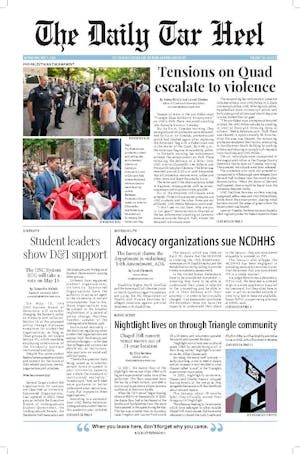
Special Print Edition
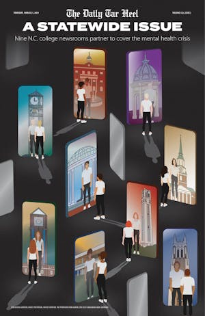
The Daily Tar Heel's Collaborative Mental Health Edition