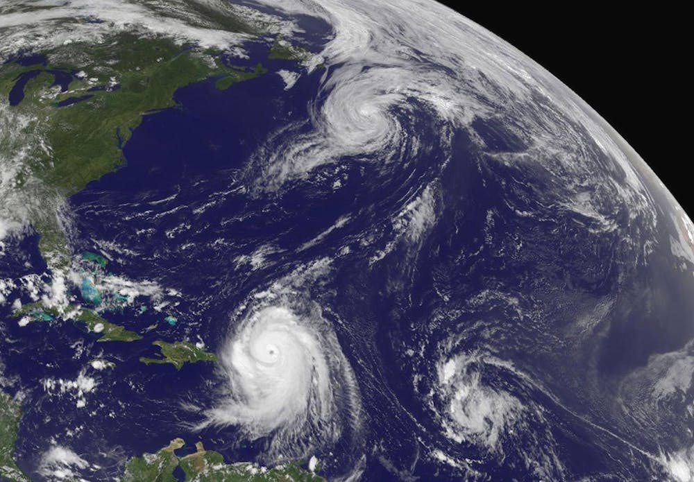
Hurricane Earl is nearing North Carolina, but the coast is the only area likely to be affected.
The state is expecting the category-three storm to impact the coast today and be gone before the weekend.
As of 1 p.m. Wednesday, it had sustained winds of 120 miles per hour, said Ryan Boyles, director of the State Climate Office of North Carolina. But by the time it approaches the state, it will slow down by as much as half the speed.
Although UNC does not expect significant impact, it is participating in state emergency preparations.
The University is informing students of weather changes through the AlertCarolina website, but it will use AlertCarolina text messages or e-mails to contact students if the situation worsens, said Randy Young, spokesman for the UNC Department of Public Safety.
“There is little to no risk in the Triangle area,” Boyles said. “We may get some winds, we may see some clouds. I doubt we even see rain.”
He said they are pretty certain of the storm’s path in the next 48 hours, but the intensity of the storm is harder to predict.
“Hopefully this will move on in time on Friday so people can get out and enjoy the weekend,” he said.
But flooding and coastal erosion remain great risks, said Gavin Smith, executive director for the Center for the Study of Natural Hazards and Disasters.